
|
|
Route
to Halley
|
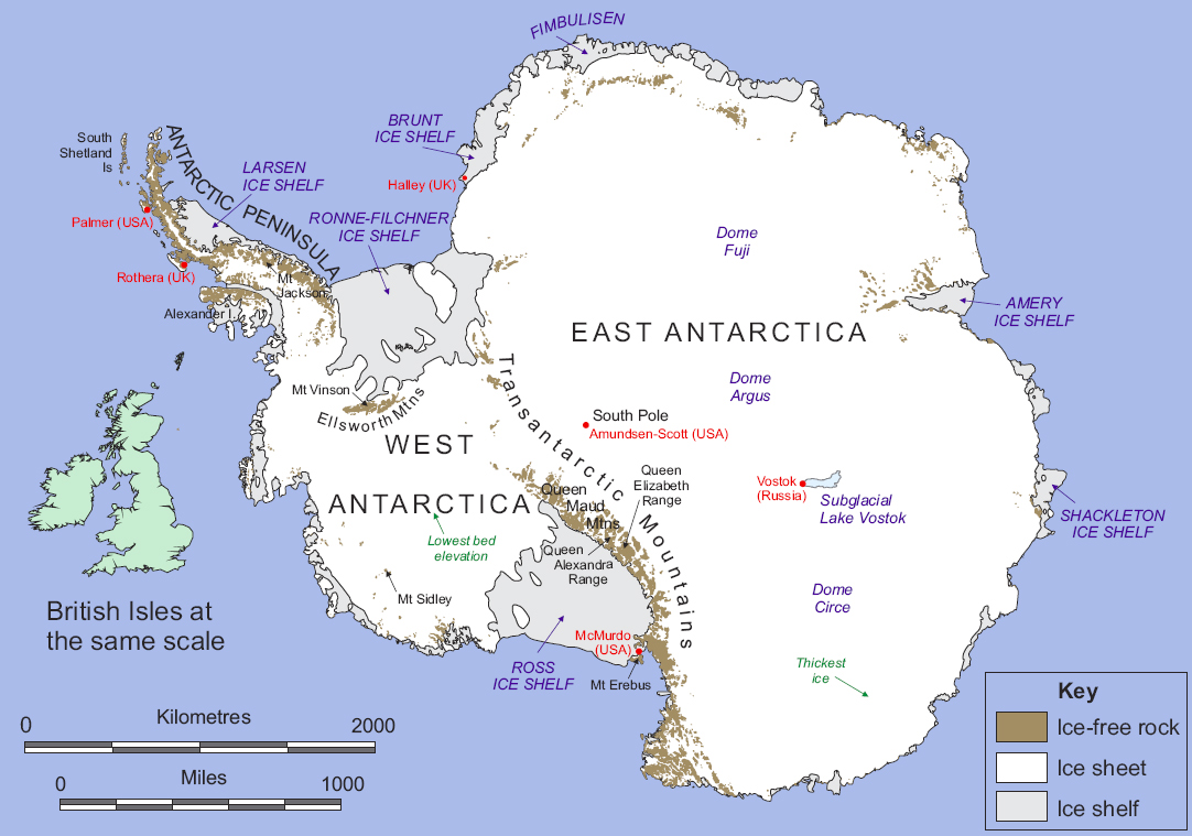
Halley Bay sits on the on/in the Brunt Ice Shelf on the Caird Cost. Google Map Halley Bay is one of the most isolated communities. In winter there were only 17 live at Halley Bay. The nearest neighbors were 500 miles away at the South African research station Sanae. The next nearest neighbors were the Americans at the Amundson Scott (South Pole )station 900 miles away. In the winter the Weddell Sea would freeze with the nearest open water 1000 miles away. In my time the only way to get to Halley Bay was by boat and this was only possible for a few weeks in high summer. |
 |
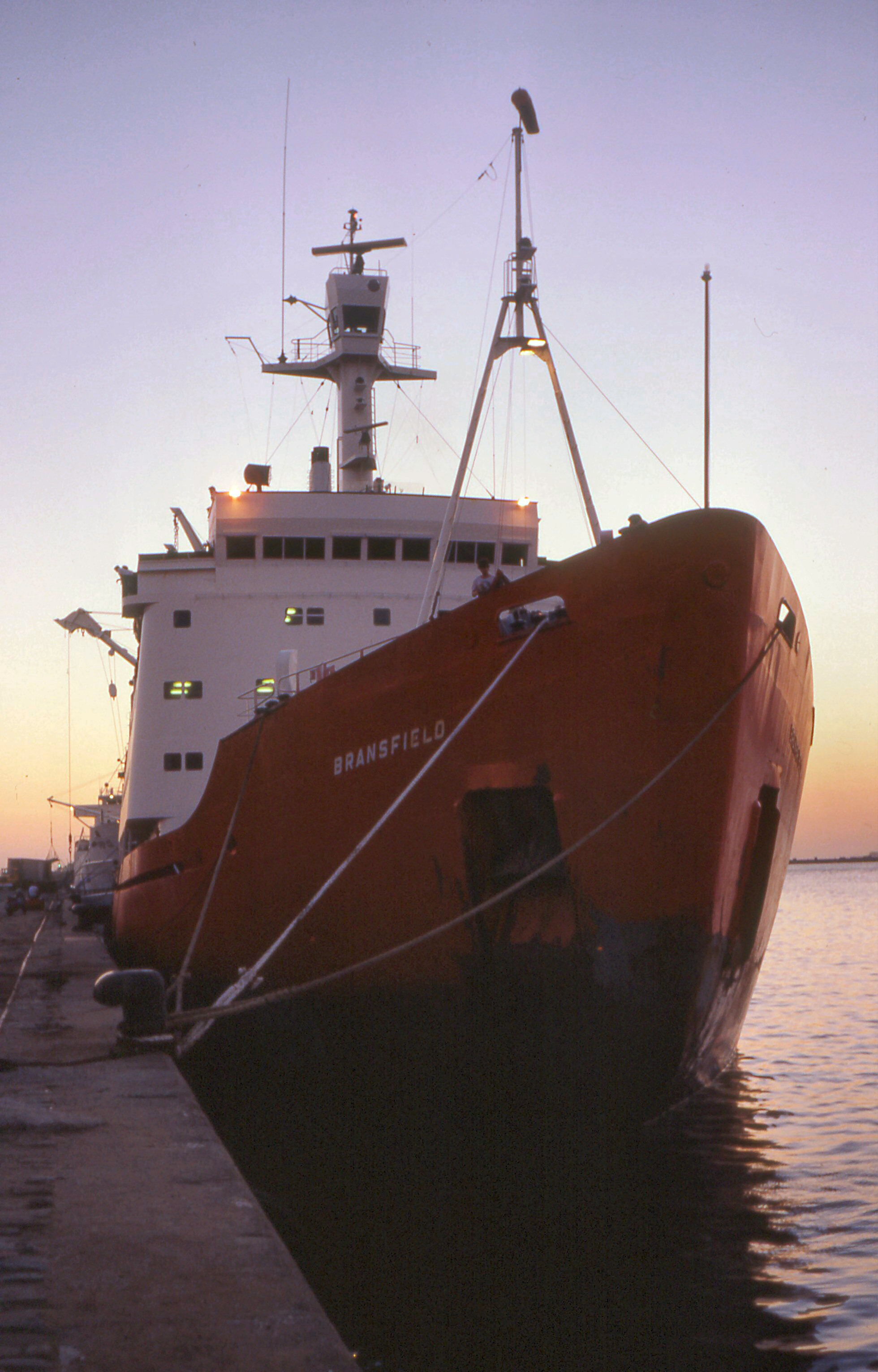
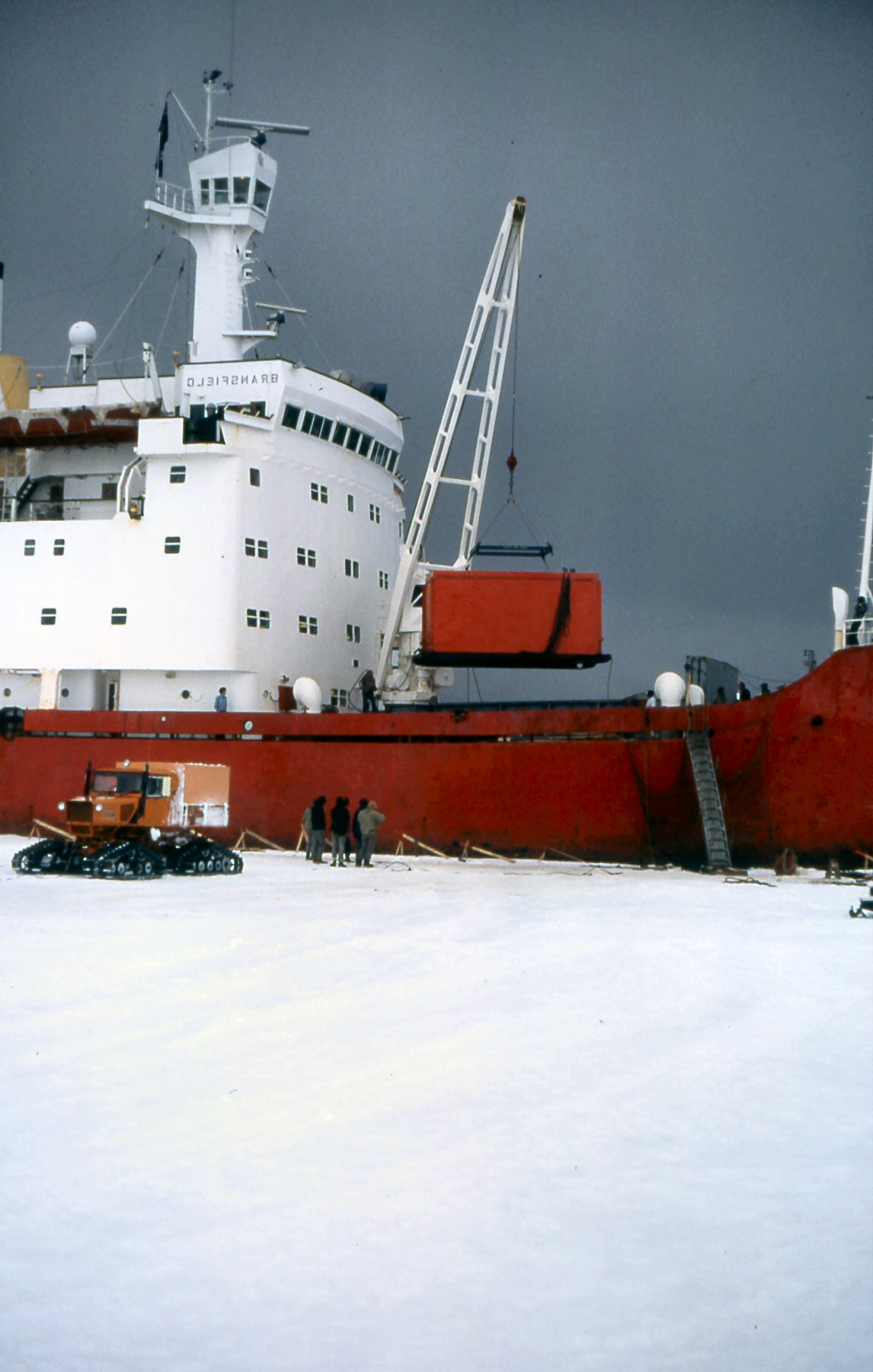
| During my time there were two ships
used by the British Antarctic Survey; the RRS John Biscoe and
the RRS Bransfield. It was the bransfield that transported me
and my team mates to Halley Bay. The RRS Bransfiled a ice reinfored ship capable of breaking ice up to 3feet thick. her spec was: Ice classification: Lloyds 100 A1 ice class A* Dimensions: length 325 ft (99.2m); breadth 60 ft (18.4m); draught 22 ft (6.7m) Tonnage 4816 gross, 1577 net Propulsion: Diesel-electric 5000 SHP (single variable pitch propeller) Passage speed: 13.25 knots (2 engines); 10.75 knots (1 engine) Endurance: 55 days (2 engines); 90 days (1 engine) Cargo capacity: 3450 cu m (max. theoretical capacity) Laboratory area: 550 sq ft Accommodation: 13 officers; 24 crew; 58 passengers |
  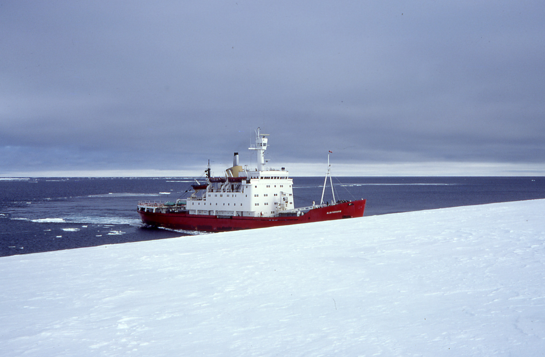 |
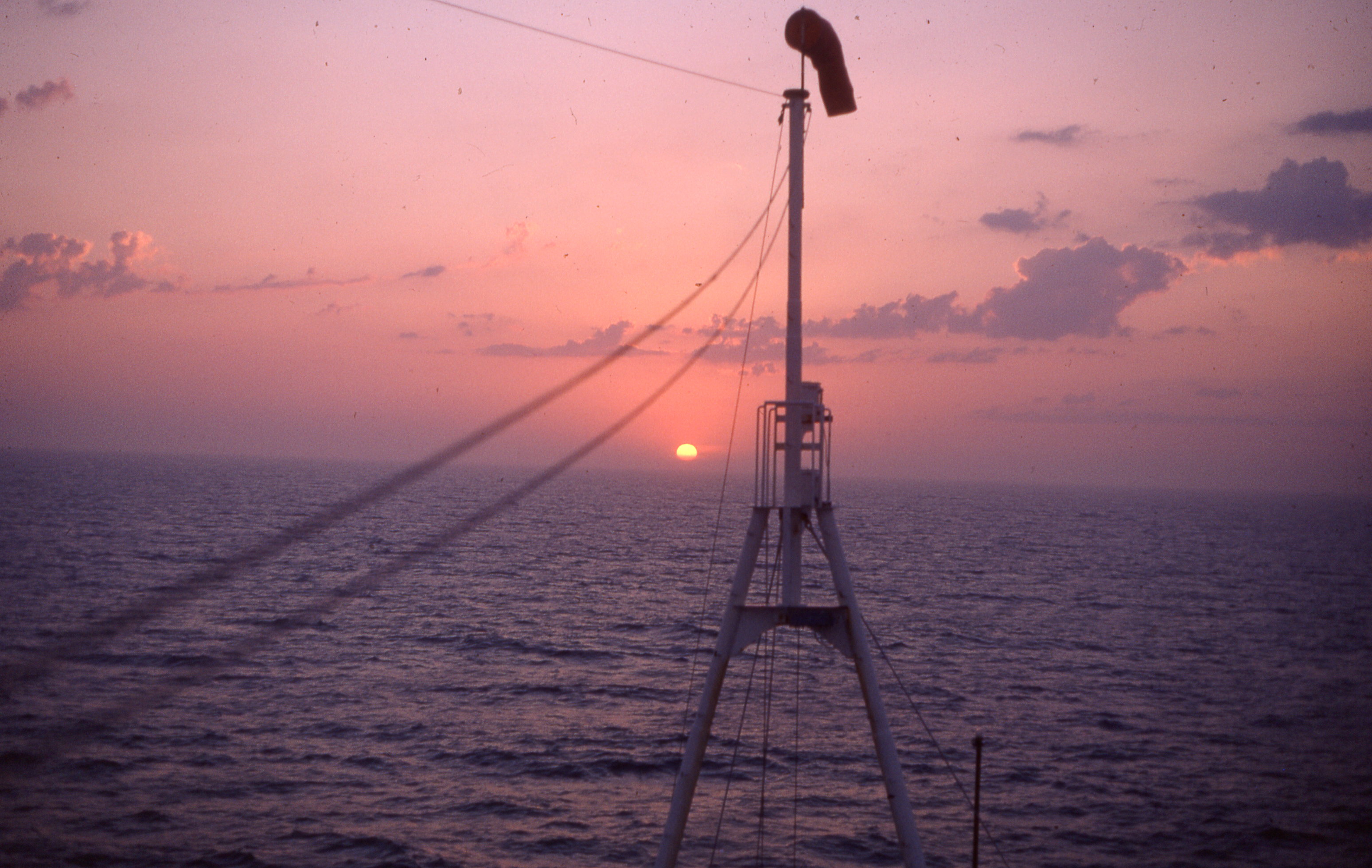
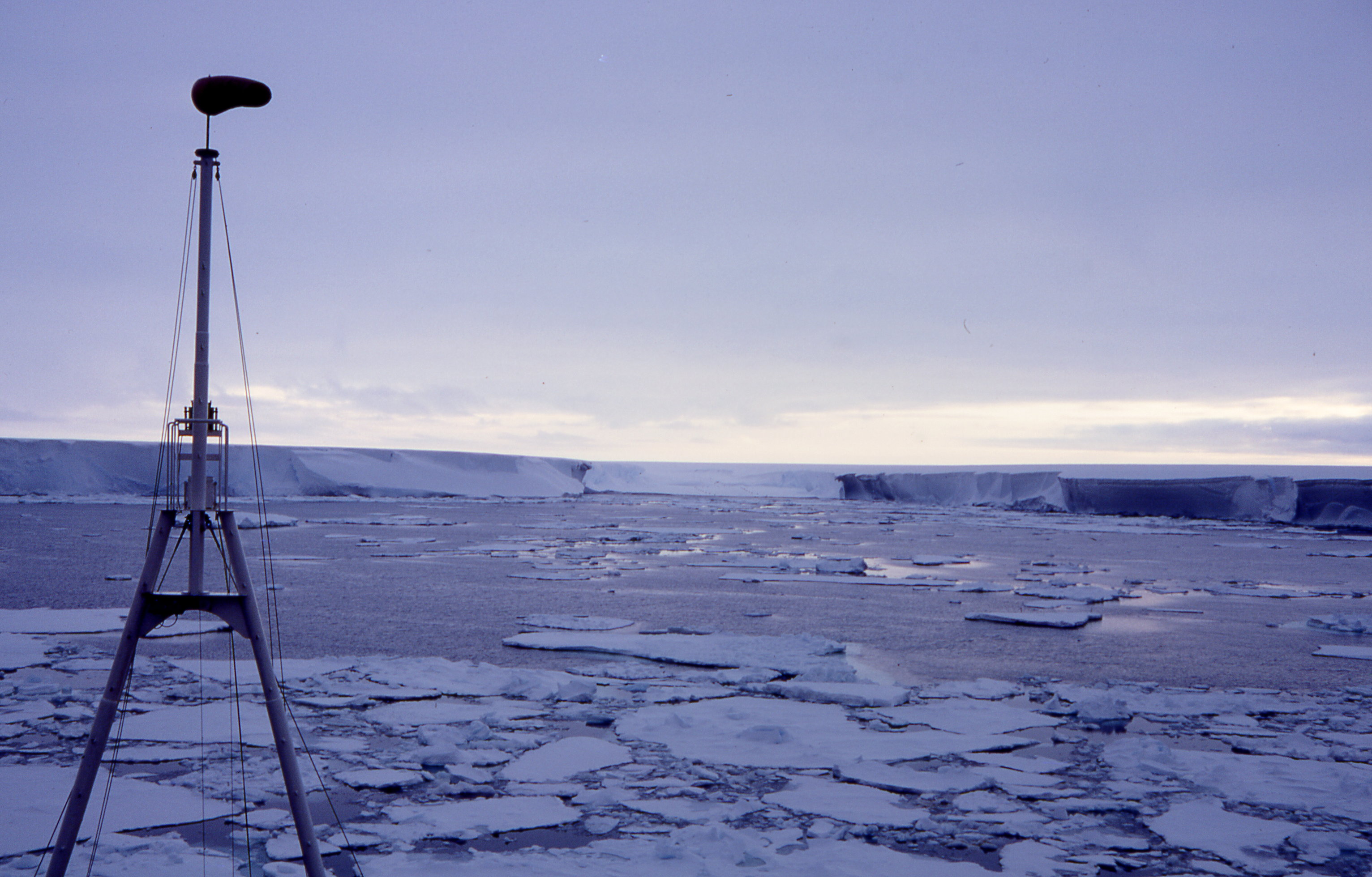
| Approaching
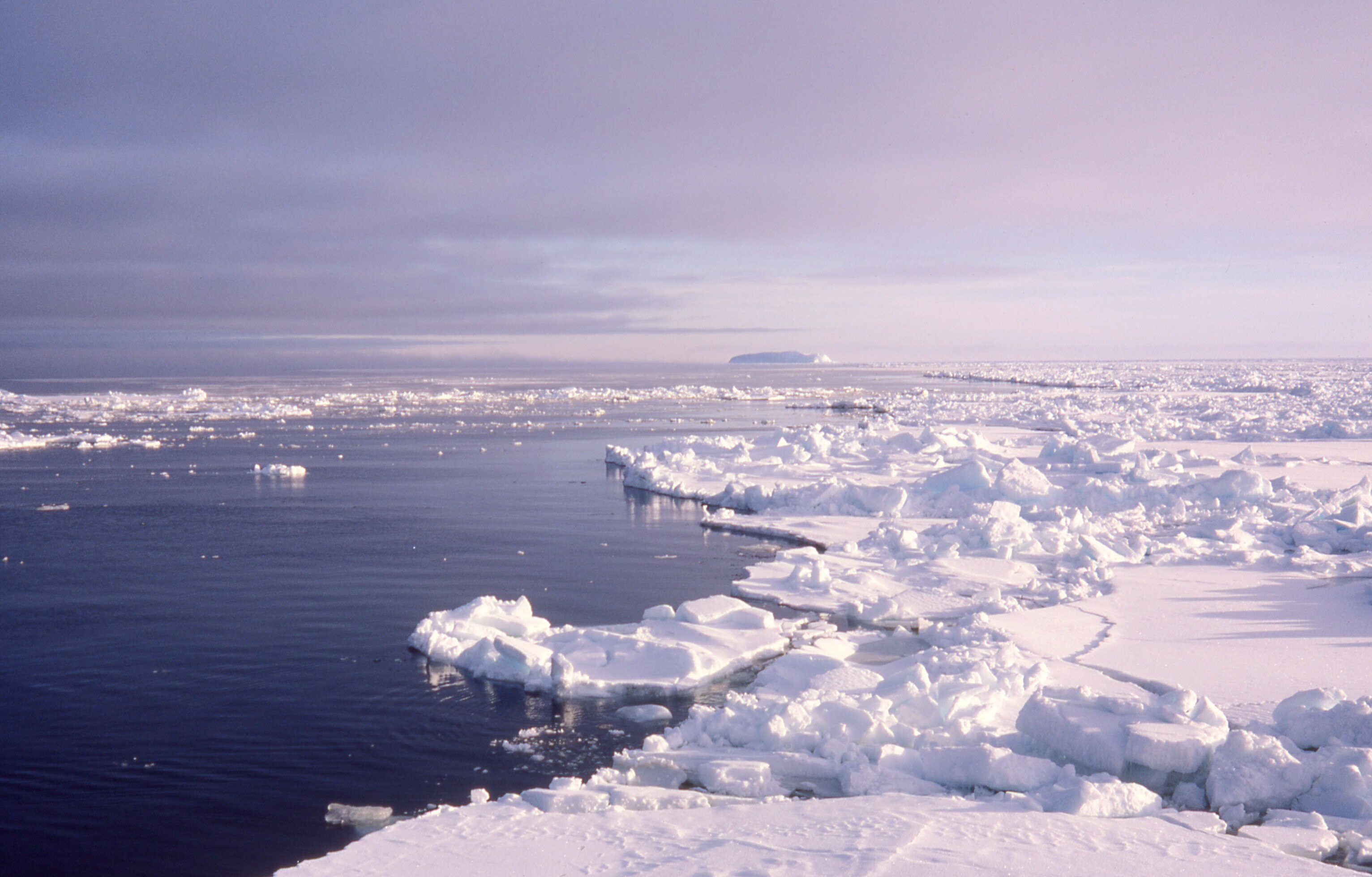
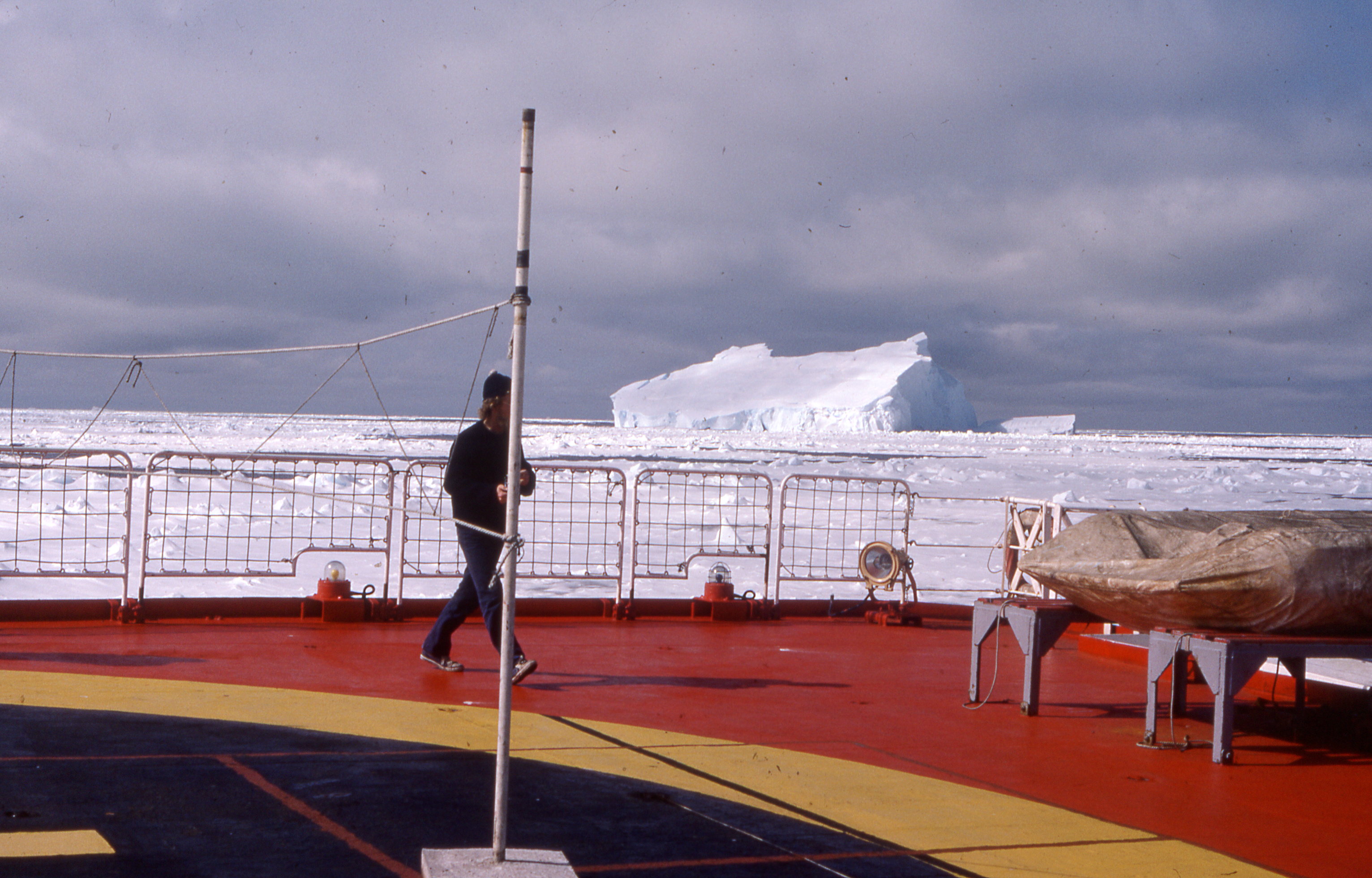
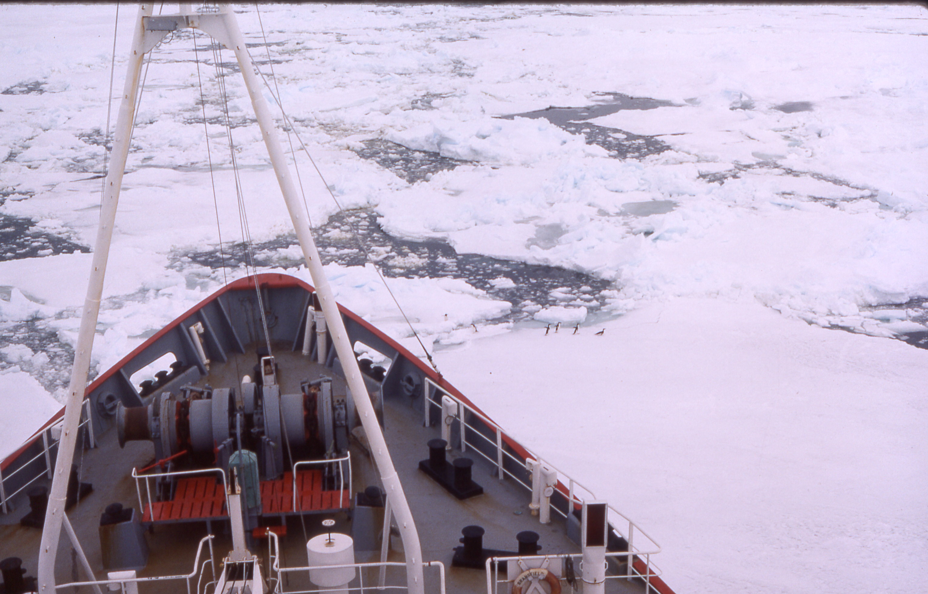
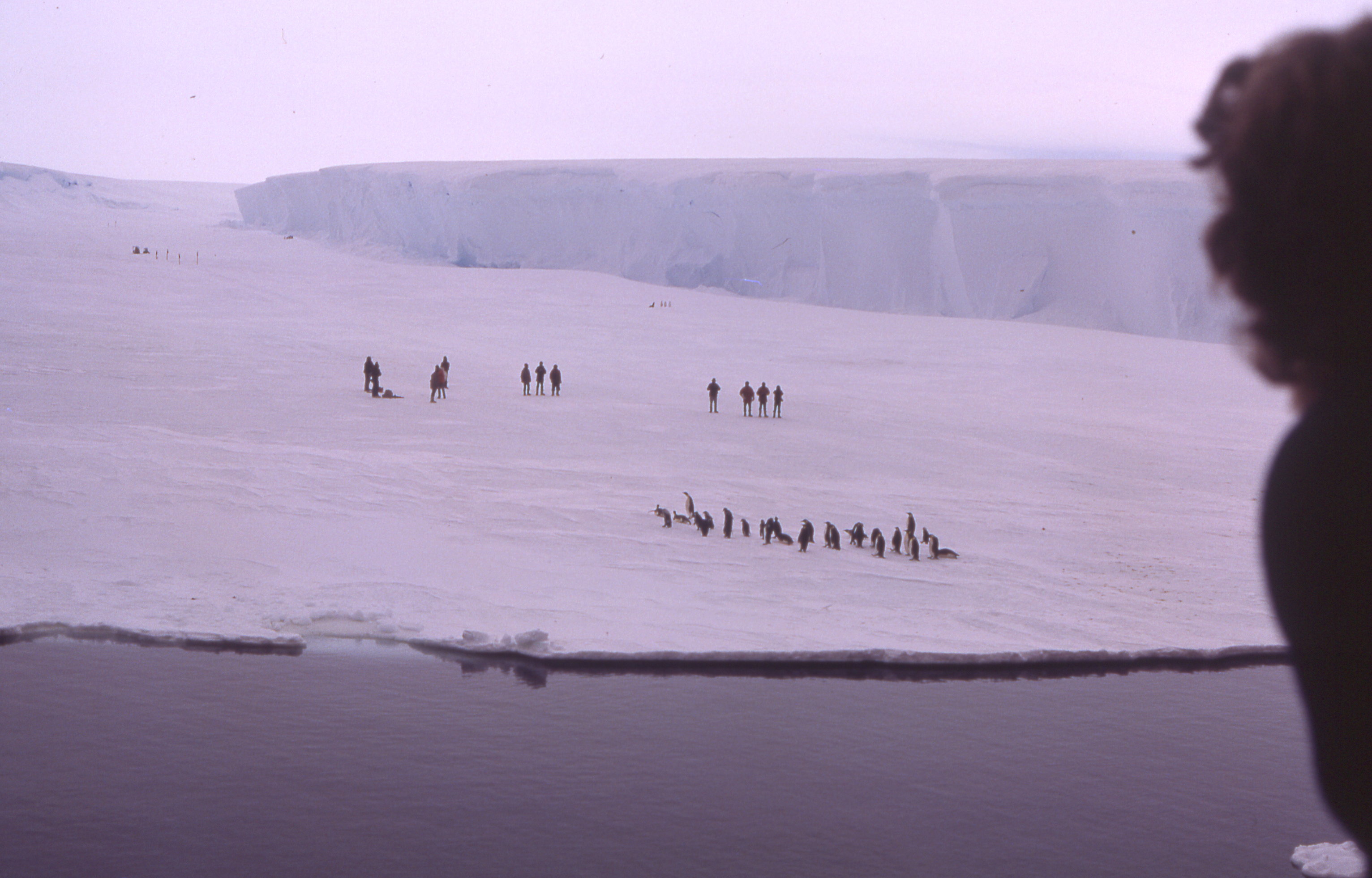
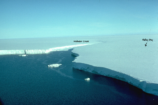
Halley Halley Bay sits on the on/in the Brunt Ice Shelf on the Caird Cost. After traversing the Atlantic via Mayport USA, Stanley Falkland Islands and onto South Georgia for days we headed south, towards the midnight sun and into the Weddal Sea. They call it the Weddell 'Sea' but it is a sea of ice. Even though it was high summer (December) the Weddell sea remains frozen. The pack ice in the Weddell makes an impenetrable barrier to all shipping even ice-breakers, but in high summer the Weddell Gyre usually opens up some channels along the eastern cost. At a time before satellite imaging the best navigating through the pack ice is by the water sky to find the channels. (The ice reflects white on the clouds and the open water reflecting darker.) After several days of charging through the ice and following the water channels we finally reached the Brunt Ice Shelf. The ice shelf shear cliffs tower a hundred feet above the sea ice. We followed the ice cliff until it opened into Mobster Creek. As we approached from the distance we could see the black dots on the sea ice in Mobster Creek. The dots were those of young emperor penguins and the eagerly waiting over wintering team. We were there first contact with the outside world for a year. I'm not sure if they were more glad to see us or the fresh food we carried. |
|
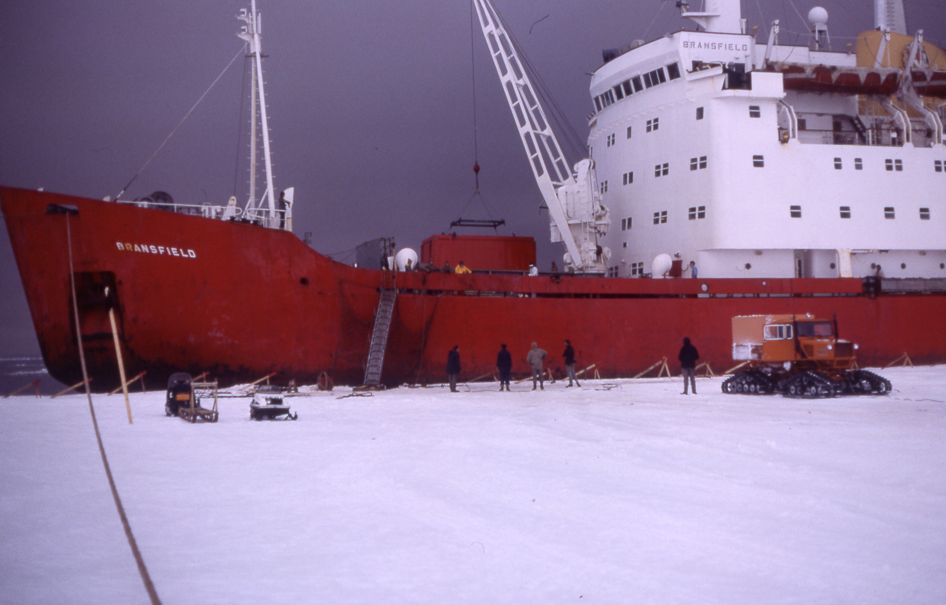
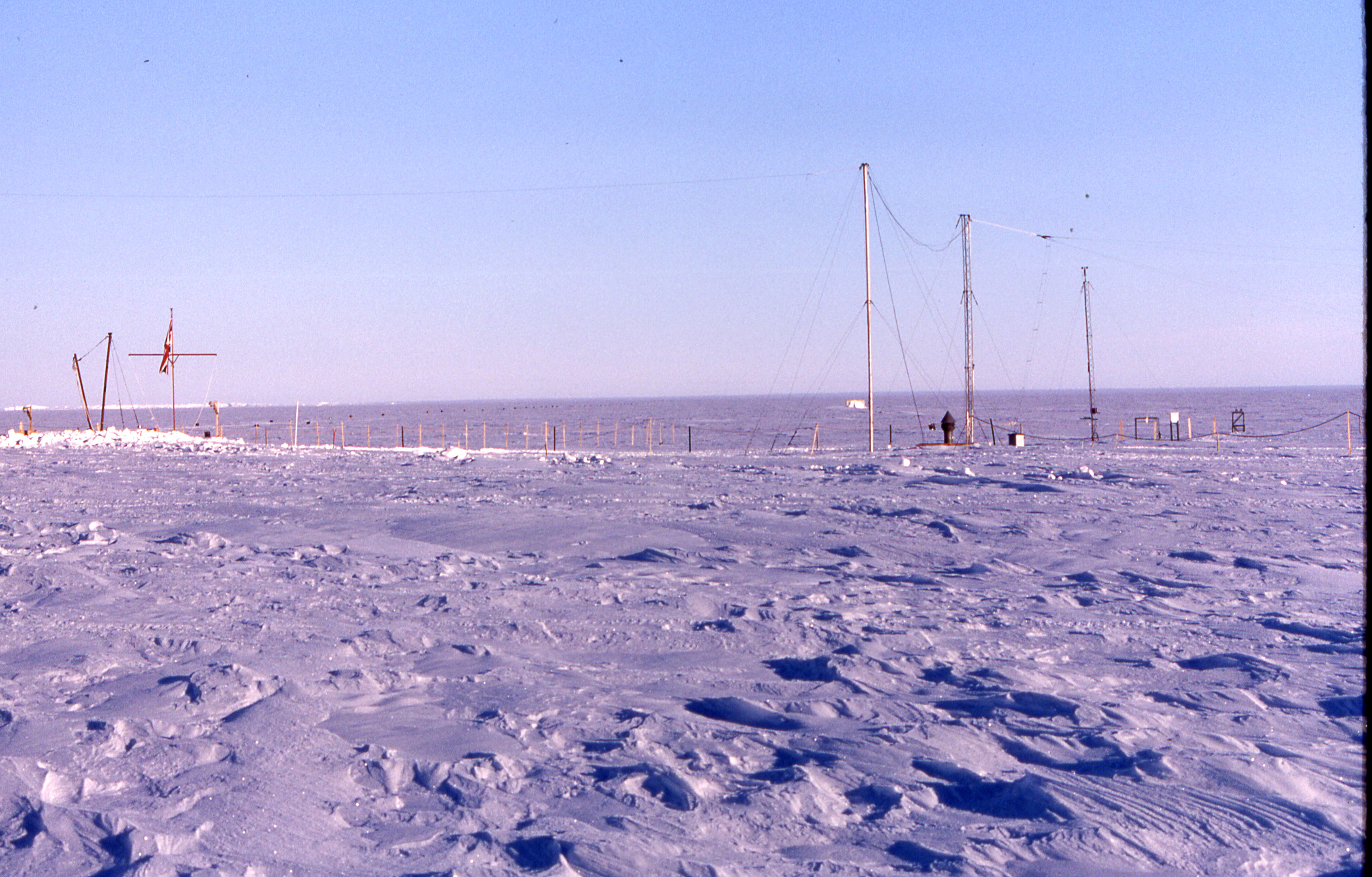
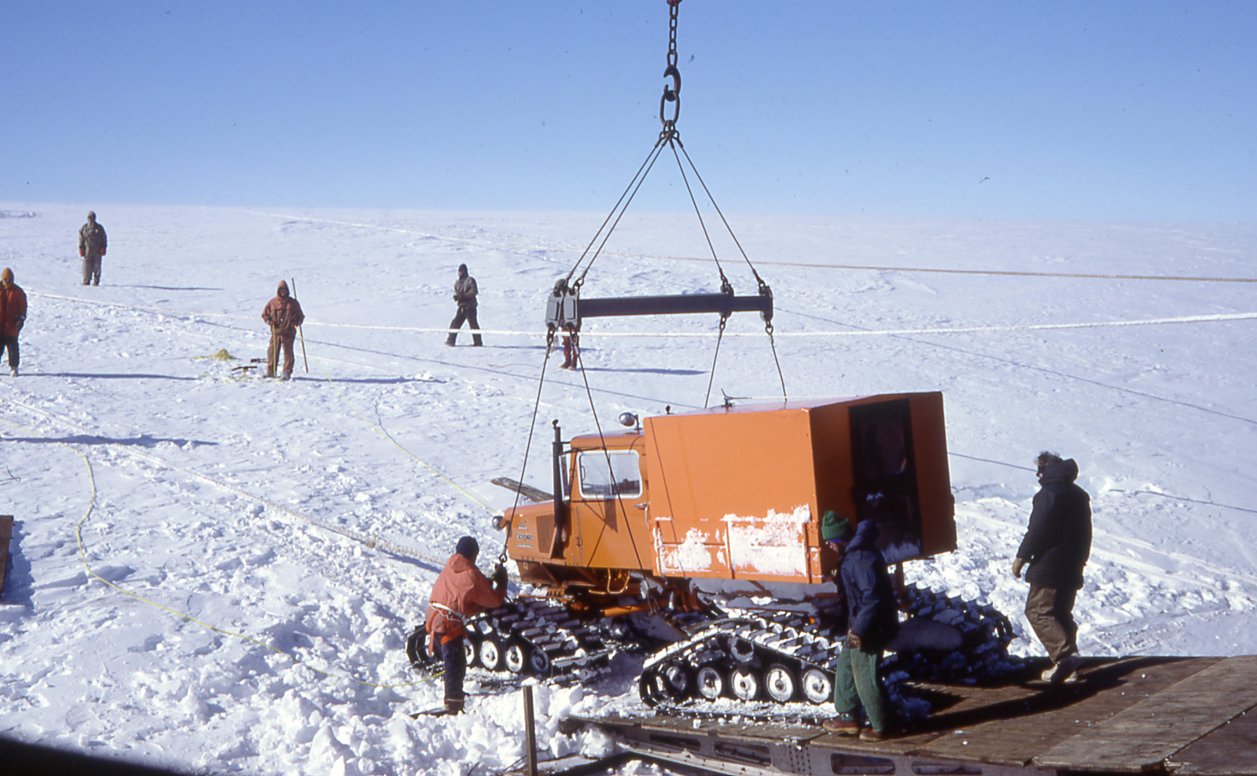
| The
actual base was about 5 miles from Mobster Creek. With the risk of the pack ice closing the channels the race was then on to off load all the coming years supplies and transport them to the base. The relief includes: fuel (aviation, petrel, paraffin), snowcats, food, drink, new experiments, cloths, tools, cigarettes, engine parts,cables lights, wood,nails, screws, stationary, soaps, soup, toothpaste,medicines...... Everything required for the coming year, once the ship leaves there will be no more supplies for another year. |
|